


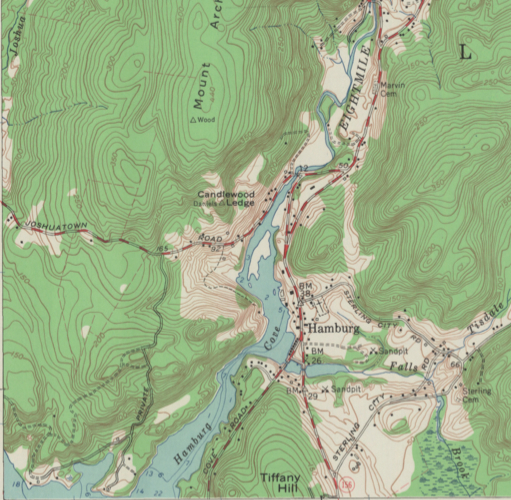
The history of the Eightmile River, nearly one-third of which flows through the town of Salem, illustrates the vital and changing roles that such waterways have played in Connecticut’s development. The Eightmile River is a 14-mile-long tributary of the Connecticut River and a significant waterway within the Eightmile River Watershed, a diverse natural and cultural resource that contains large areas of unspoiled natural habitat and over 150 miles of pristine rivers and streams.
Uncovering the River’s Past
Archaeological research has uncovered indications of ancient Native American settlements along the river. Significant quantities of deer bone found near the confluence of the Eightmile and Connecticut Rivers seems to indicate the presence of Native American camps used primarily for hunting. Such watersheds provided for a wide range of natural habitats, which supported plant and animal resources used by Native peoples. The river also facilitated transportation and trade possibilities, in addition to giving inland groups a means to access coastal resources.
The arrival of European settlers brought changes to the ways in which humans utilized the Eightmile River. While the river still served as a transportation and trade corridor, it now supported colonial agriculture as well. By the early 1800s, Salem waterways had also become essential power sources for local industries, such as gristmills and sawmills. The Eightmile River provided the means to transport lumber and other raw materials used by these ventures. The industrial revolution of the late-1800s never took root in Salem, however, and by the early 1900s it had largely returned to being an agricultural community.

Eightmile watershed view in Salem – Eightmile Wild & Scenic Committee
Conservation Efforts
In more recent times, the Eightmile River is prized for its role in sustaining local ecosystems and the respite that it provides to those seeking scenic vistas and recreation, such as fishing and kayaking. Conservation efforts to gain federal protection for the area started with a joint venture undertaken by the University of Connecticut Cooperative Extension Service, the US Fish & Wildlife Service, and The Nature Conservancy. These groups brought together concerned citizens from Lyme, Salem, and East Haddam in an attempt to get the Eightmile River recognized as a part of the National Wild and Scenic River System.
The National Wild and Scenic River System is a program established by Congress in 1968 to protect rivers from the harmful effects of federal dam and hydroelectric projects. Each river in the system receives permanent protection from dams, channels, and other federal projects that adversely affect the river’s free-flowing nature or its surrounding resources. To be considered for protection, the river must be free flowing and possess at least one “outstandingly remarkable” resource, such as exceptional scenery, fisheries and wildlife, or water quality.
In 2008, the diligent work of preservationists paid off when the Eightmile River Watershed was officially designated the nation’s 12th Wild and Scenic Partnership River. The Watershed now resides under the protection of the Eightmile River Wild and Scenic Coordinating Committee, which is made up of members appointed by local land trusts and municipalities, The Nature Conservancy, the Connecticut Department of Environment Protection, and the National Park Service.


