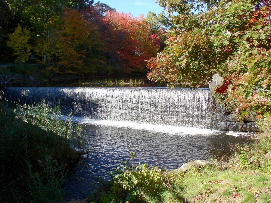
Stafford Springs, Stafford

Stafford Springs, Stafford – Jerry Dougherty

Located in Tolland County on the Massachusetts border, Stafford is, in terms of land area, the state’s third largest town. Early on, Iron bogs and mineral springs drew indigenous peoples and settlers to the area. Incorporated in 1719, Stafford became a resort town as growing numbers of people, including President John Adams, sought out the waters’ curative powers. In the late 1800s, as the springs’ popularity declined, textile mills, a button factory, and other enterprises formed Stafford’s industrial hub. Today, with its lakes, streams, farmlands, and Shenipsit State Forest, Stafford retains its rural character.


Learn More

Websites

National Museum of American History. “Elijah Fairman’s Patent Model of a Loom,” 2012. Link.

Places

Shenipsit State Forest. “Northeast States Civilian Conservation Corps Museum,” 2016. Link.
Department of Energy & Environmental Protection. “Shenipsit State Forest,” 2016. Link.
“Stafford Historical Society,” 2016. Link.

Documents

O.H. Bailey & Company. “Map - View of Stafford Springs, Conn. 1878.” Bird’s-eye. Milwaukee: Bailey, 1878. University of Connecticut Libraries, Map and Geographic Information Center - MAGIC. Link.
“Photograh - Warren Woolen Company: Old and New Mills, Stafford Springs.” August Schmelzer Company, 1910. Connecticut History Illustrated and Connecticut Historical Society. Link.
Connecticut State Library Digital Collections. “Stafford - WPA Architectural Survey,” 2016. Link.
“Stafford Collection.” Connecticut Digital Archive, n.d. Link.

Books

Commemorative Biographical Record of Tolland and Windham Counties, Connecticut: Containing Biographical Sketches of Prominent and Representative Citizens and of Many of the Early Settled Families. Chicago, IL: J.H. Beers & Co., 1903. Link.
Stafford Historical Society. Stafford Connecticut: 275th Anniversary, 1719-1994. Stafford, CT: Stafford Historical Society, 1994.