One of the many contributions the town of Bethany makes to historical scholarship comes from a look at its evolution from a parish and agricultural settlement to a thriving residential community. Wild fluctuations in population accompanied the town’s development. Looking at these patterns provides important insight into the impact of growth and industrialization on Bethany and similar small Connecticut communities.
In 1784, the Connecticut General Assembly incorporated the Bethany Parish into the town of Woodbridge. Forty-eight years later, Bethany incorporated as its own town and grew through the 1839 annexation of the Nyumphs area of Oxford—an area that later became a part of Beacon Falls. Around this time, the population of 1,170 in Bethany began a steady decline.
Population Drop in the Mid-19th Century
The first significant decline came when the Straitsville area of Bethany became a part of Naugatuck in 1844. This coincided with a growing industrial base in the area surrounding Bethany. The Canal Railroad in 1848 and the Naugatuck Valley Railroad in 1849 brought railroad service close to Bethany but not close enough to make the town an attractive investment for industry. As residents migrated toward the jobs offered in industrialized areas, the population continued to plummet.
In addition to its lack of industry, Bethany continued to lose land and people through the development of surrounding towns. In 1865, Woodbridge annexed part of Bethany. Six years later, the population took another significant hit with the incorporation of nearby Beacon Falls. As a result, the population in Bethany tumbled over the next several decades, falling from 637 in 1880, to 550 in 1890, to 517 in 1900, and finally bottoming out at 411 in 1920.
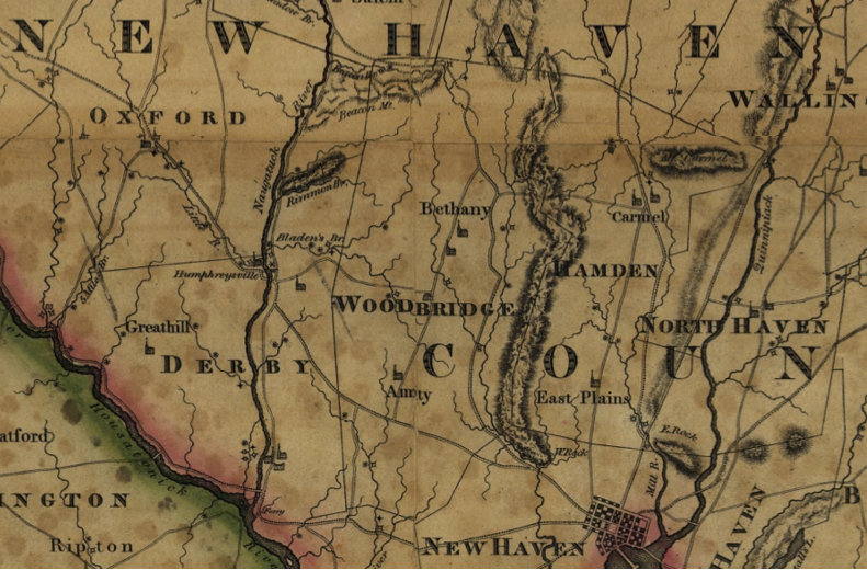
Detail of Bethany from Town and city atlas of the State of Connecticut, Boston: MA: D.H. Hurd & Company, 1893 – University of Connecticut Libraries, Map and Geographic Information Center (MAGIC)
Popularity of Suburban Living Enhances Lure of Bethany
At the start of the 20th century, however, the lack of industry in Bethany and the town’s status as a small, rural community began working in its favor. Seeking an escape from the noise and pollution of industrialized cities, and with the new-found mobility provided by the automobile, Americans in Connecticut and elsewhere began moving to the suburbs in search of peace and quiet.
Bethany capitalized on its new popularity by improving its infrastructure while simultaneously promoting its agricultural heritage. In the 1930s, the town widened roads, built schools (like the Bethany Community School), and opened a state police barracks, while also hosting a series of popular agricultural fairs. The population steadily grew from 480 in 1930 to 706 in 1940 and 1,318 in 1950.
Embracing its residential draw, the town continued to offer the peace and serenity of the country, along with the conveniences of modern living. The paving of roads, the installation of traffic lights, and the creation of new town offices, such as the Parks and Recreation Department, helped Bethany grow into a thriving residential community. By the start of the new millennium, Bethany had over 5,000 residents within its borders.